
FramGeo, when operational, will deliver offshore surveys safely and efficiently with minimal manual handling
Site survey

Offshore site surveys for oil & gas, CCS and offshore wind projects. These surveys vary in scale and typically incorporate many of the supporting services outlined on this page.
Seismic survey

We conduct any type of shallow seismic survey from 2D/3D HR to 2D/3D EHR, and can deploy a variety of configuration to meet Clients objective.
Route survey
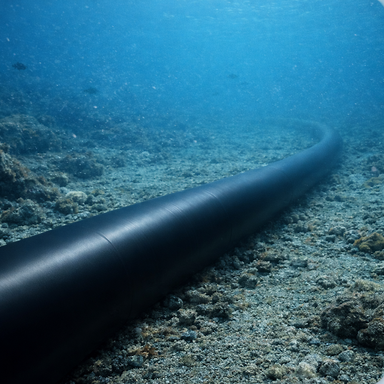
We provide all types of route surveys for cables, pipelines, and umbilical’s. Our services cover both reconnaissance surveys and detailed construction surveys.
Light Geotechnical

We perform geotechnical surveys including 6m gravity/vibro coring and CPT, pushing down to 40m.
Environmental survey

We offer environmental surveys, including baseline and habitat assessments. We acquire data using drop‑down cameras, ROVs and grab samplers.
Hydrography
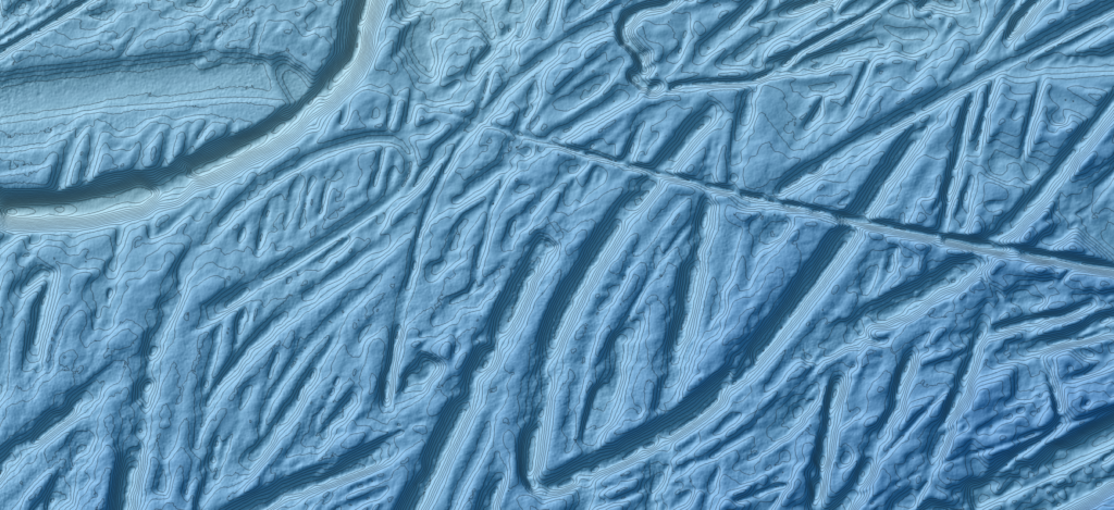
We conduct hydrographic surveys using the most recent multibeam echo sounders, delivering high‑resolution and accurate seabed mapping.
Data Management

GIS and spatial data management are at the core of everything we do. We provide end‑to‑end services across GIS, spatial data management, and advanced analytics. With a proven track record in applying the Seabed Survey Data Model (SSDM) and extensive experience in both desktop and enterprise GIS.
Data interpretation
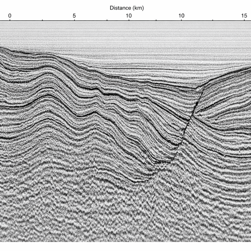
We leverage AI and state-of-the-art software to integrate and analyze all acquired data. From this analysis, we assess risk, deliver expert advice, and produce detailed reports.